
Decatur Neighbor Record Sources
Each public source describes a different layer of a Decatur block. The map defines nearby land. Appraisal and tax records attach ownership and mailing facts to each parcel. Recorded deeds show transfers and liens. Election records have strict access and use rules. Community maps and archives identify organizations or shared history, but do not publish private member rolls.
| Official or local source | What it can show around a block | How it is accessed |
|---|---|---|
| City OneMap and DeKalb Parcel Viewer | Adjacent parcel shapes, IDs, city line, zoning and district context | Free map browse by address or parcel |
| DeKalb Property Appraisal and Tax Commissioner | Assessed owner, situs, separate mailing address, values and tax account | Free individual parcel searches |
| Landmark recorded documents | Transfers, liens, legal descriptions and named document parties | Free index from 1979; older books at clerk |
| Georgia and DeKalb election channels | Individual registration or a defined public municipality file | Authenticated self-lookup or formal list order |
| Decatur Community Asset Map and archives | Associations, civic groups, faith communities and historical voices | Public organization contacts or archive appointment |
Ownership is not occupancy. A corporation, trust, estate, or out-of-area person can own a nearby parcel. A matching situs and tax mailing address may support owner occupancy, but it still says nothing conclusive about relatives or other people at the property.
Map a Decatur Block Outward
Use City of Decatur OneMap for incorporated-city boundaries and local map layers, or the DeKalb County GIS gateway for county parcel browsing. Search the known address or parcel ID. Zoom until parcel lines appear, select the target lot, then click the polygons beside it and across the street.
The immediate-block flow is simple:
- Verify the starting address and whether its parcel lies inside incorporated Decatur.
- Record the target parcel ID, then select each contiguous or directly facing parcel.
- Open an appraisal card for every selected parcel and keep situs and mailing fields separate.
- Label the resulting names as assessed owners, not automatically as nearby residents.
- Use the Decatur street directory method only when the task expands to the full named street.
A radius or buffer is not needed for one block. Visible parcel polygons create a clear and repeatable sample. Do not assume two close postal addresses share the same city government. Postal Decatur reaches beyond the incorporated boundary.
Read Decatur Neighbor Parcel Cards
The DeKalb Property Appraisal search accepts an owner name, address, or parcel ID. Open each card separately. Record the assessed owner exactly as shown, the physical or situs address, the tax mailing destination, parcel ID, property type, sales clues, and any exemption information. Use the Tax Commissioner's portal when the question concerns tax billing or mailing-address updates.
A parcel card can be stale relative to a very recent deed. If ownership is crucial, compare it with the acquisition instrument in Landmark. A deed party may be a lender, trustee, or other participant, so note the document type and party role. The card and deed together establish land facts more reliably than either source alone.
- Parcel
- A mapped unit of land with a county identification number.
- Situs address
- The physical location assigned to the property.
- Tax mailing address
- The destination for owner tax mail, which may be somewhere else.
- Plat
- A recorded map showing lots, boundaries, streets, and related survey facts.
Decatur Neighbors and Voter Records
Georgia's My Voter Page is an individualized tool, not a browse-all-residents directory. It requires a first initial, last name, county, and date of birth. A match can show registration status, precinct, polling place, districts, and voting participation history. It never shows ballot choices, and Georgia does not register voters by party.
A true municipality or street study uses the state's formal voter-list order process. The order form supports county, municipality, district, or precinct requests and offers active-only or active-and-inactive files. A Decatur request should specify both DeKalb County and “City of Decatur,” since the postal city extends outside the municipal line. Public files omit telephone number, date of birth, Social Security number, and driver's-license number. O.C.G.A. § 21-2-601 bars commercial use of a supplied elector list.
The DeKalb Registration and Elections page shown here provides the county contact and election-record channel.
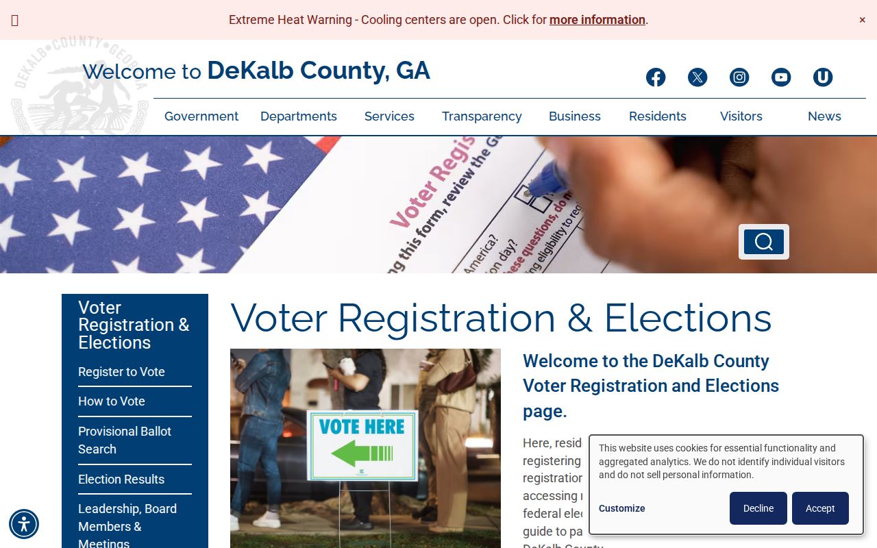
The captured page is a route to official service, not permission to publish a block's private details.
Note: An inactive voter retains voting rights, so inactive status alone does not prove that a Decatur neighbor moved away.
Meet Decatur Neighborhood Groups
The City of Decatur Community Asset Map adds a civic layer that parcel and voter sources cannot. It identifies neighborhood associations, faith groups, schools, and other organizations with public organizational contacts. Those contacts can help a newcomer learn about meetings, events, or the accepted name of an area. They are not private membership lists.
| Community resource | Useful public detail | Boundary to respect |
|---|---|---|
| Decatur Community Asset Map | Organization name, category, location, and public contact where supplied | No assumption that nearby residents are members |
| DeKalb History Center groups | Club, school, civic, and family collections by appointment | Donated and partial holdings, not a current roster |
| Local district and precinct names | Oakhurst, Winnona Park, Clairemont, Glenwood and Ponce de Leon context | Precinct lines do not equal neighborhood borders |
Decatur community names overlap with historic districts and election precincts, but those systems were drawn for different purposes. Use the city's limit and parcel layers for jurisdiction, then use the group's own contact page for current civic information.
Decatur Neighbors in Local Memory
“Every Person By Name” is a rare bridge between current community voices and the paper archive. Agnes Scott College and the City of Decatur gathered StoryCorps-style interviews from 2023 through 2025. The DeKalb History Center now preserves audio for 31 named interviewees through archive appointments. It is a community-memory source, not a complete residents roll.
The collection page shown below explains the oral-history project and its archival home.
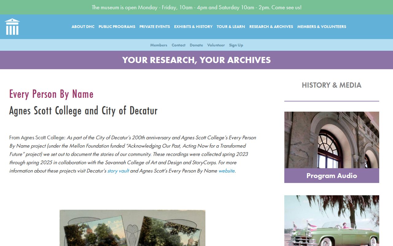
The capture points to recorded, consent-based stories that can add context to a neighborhood history without turning personal memory into a household directory.
Other DeKalb History Center collections include club directories, garden-club scrapbooks, Oakhurst school materials, and community newspapers. Such sources can connect names to civic life, but donated collections have gaps and may reflect only members or participants.
Official Decatur Rolls Compared
Commercial neighbor tools merge public and private data into profiles. Their records may be old, misjoined, or stripped of the source date. Official rolls are narrower, but each has a named custodian and a clear purpose. Use the original roll to verify any lead.
| Source type | Strength | Main weakness |
|---|---|---|
| GIS and appraisal | Current parcel geography and assessed ownership | Does not list the full household |
| Deed index | Recorded transaction, parties, date and legal land identity | Document parties are not necessarily occupants |
| Election channel | Official registration evidence within legal access rules | Not an open block browser; protected data omitted |
| Commercial compilation | May gather leads from several sources | Can be stale, merged, or hard to trace to a custodian |
When a source is wrong, correct the government record with its custodian. Removing a commercial profile does not erase an assessor, deed, or court record that remains public by law.
Protect Privacy Around Decatur Neighbors
Public land and election records still leave a private layer around every block. Utility accounts, delivery records, driver's data, full dates of birth, Social Security numbers, and many personal contact details are not a substitute resident roll. Neighborhood-watch participant identities and contact or security details receive protection under O.C.G.A. § 50-18-72(a)(19).
Georgia Safe at Home provides a substitute address, mail forwarding, and confidential voter registration for eligible survivors and others at risk. VoteSafe separately protects qualifying voter residence addresses. An absent or substituted address should be respected, never treated as a gap to defeat.
Use Decatur neighbor records for civic curiosity, reconnecting, block history, or personal safety awareness. Label owners as owners, groups as groups, and historical interview subjects as volunteers in a named project.
Lawful use. Never use Decatur neighbor information to watch, repeatedly contact, threaten, intimidate, or harm anyone. Public availability does not create consent.